Choose from a menu of up to 2 rentals undefined
Vtáčnik Kľak
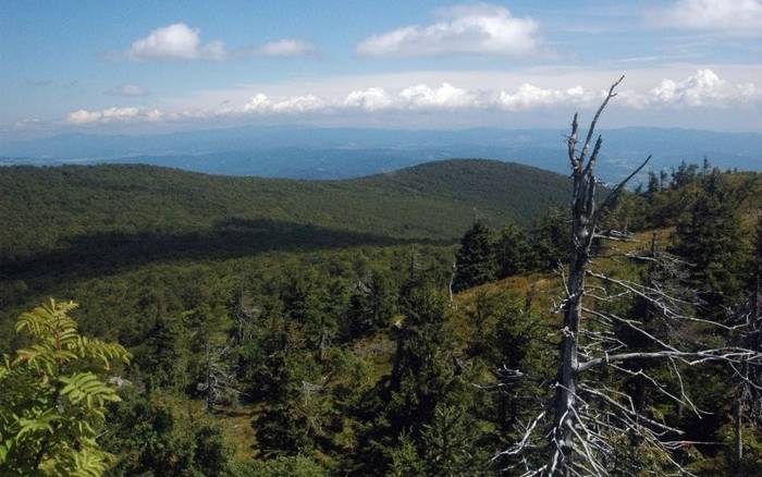
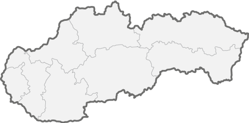
You can easily climb Vtáčnik mountain on hiking trails marked with red, blue, or green. The first trail starts at Kláštorna skala, the second in the village of Bystričany, and the third in the village of Kľak. Vtáčnik stands at 1,345.8 meters above sea level and is a prominent rocky summit on the main ridge of the uniform mountain range bordering Trenčín and Banská Bystrica regions, as well as Prievidza and Žarnovica districts. Most of the surrounding area is covered by coniferous-deciduous forest, which is absent at the peak itself, creating an advantage by offering beautiful views of the Štiavnica, Kremnica, and Strážov mountains, as well as the Great and Small Fatra, Žiar, and Upper Nitra valleys.Read on
Free New Year's Eve: from 26 €


7,1 km
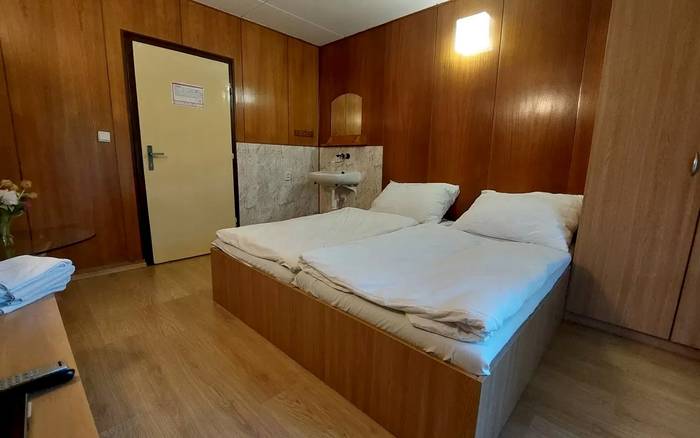
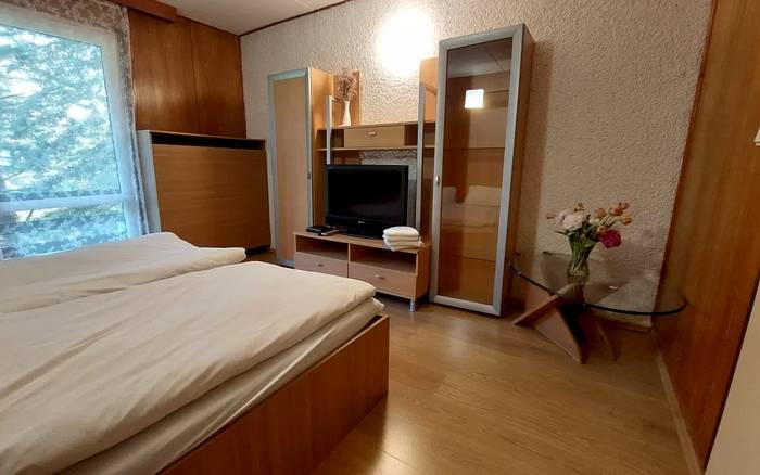
A peaceful cottage in the Žiarska Valley
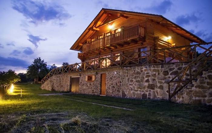
Chalet suitable for celebrations, camps, weddings, family events
Ostrý Grúň • 25 rooms a 5 apartments, 89 persons, 30 bedrooms. In a secluded place near the village, by the forest. Dog not allowed.
Free New Year's Eve: from 2300 € / 5 nights
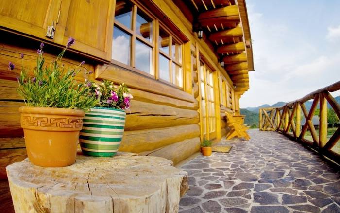
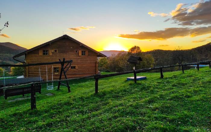
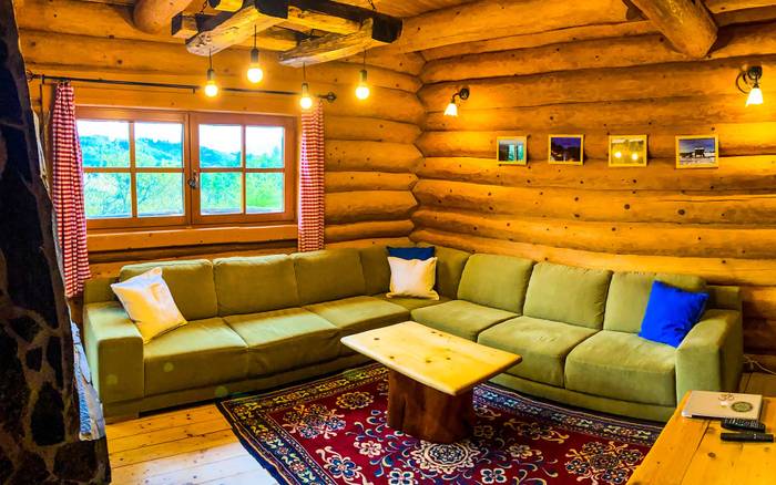
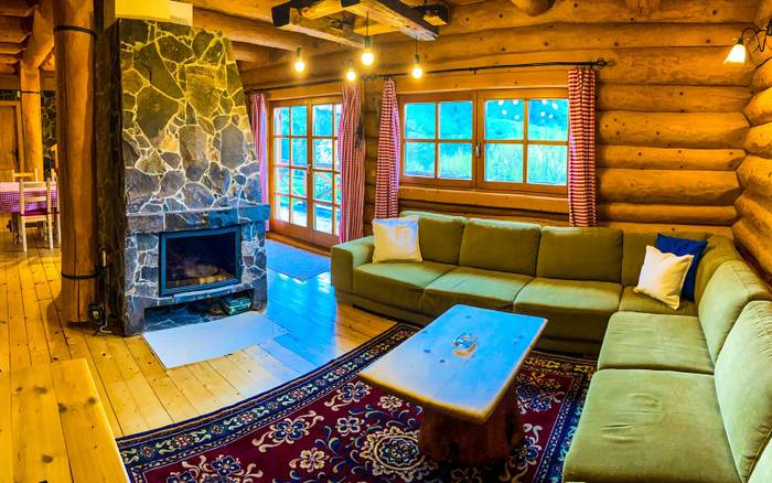
19,6 km
Last minute 20% discount for the period June 5-7, 2026.
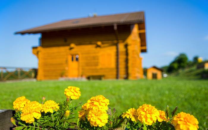
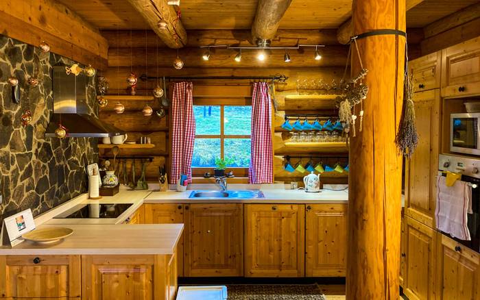
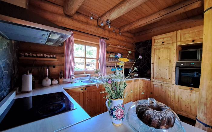
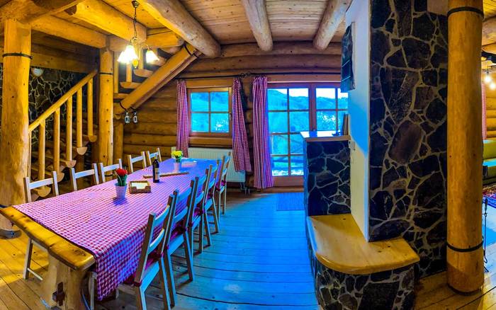
Hodruša - Hámre • 13 persons, 6 bedrooms. In a secluded place near the village, by the forest. Swimming pool. Dog allowed.